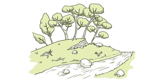
Question: What is a gorge? In what type of terrain does a gorge form?
Answer: A gorge is a very steep sided, narrow river valley. It is found in the mountains in the upper courses of the rivers. They are neary I-shaped in appearance. In the upper course the river is very swift as it descends down the steep slopes of the mountains. Vertical corrosion or down cutting is the predominant action of the river here. In areas where the rocks are very hard or resistant, the valley that develops in narrow and the sides are steep rising almost vertically. Such narrow river valleys are called gorges. Thus, gorges are found in mountainous terrain with resistant rocks. They are usually found in the upper reaches of the river in high mountains, e.g. the Indus Gorge, the Brahmaputra Gorge. Gorges are features of youthful topography. In the Himalayas where the land has been uplifted in recent geological period, gorges are common.
Question: What type of channel does the river Brahmaputra have? Write a short note on the formation of this type of channel.
Answer: The river Brahmaputra has a braided channel in its entire length in Assam. The northeastern part of India is a region of high rainfall. Assam receives heavy rainfall during the monsoons. This increases the volume of water in the Brahmaputra river. On account of rapid erosion, the river carries a considerable amount of silt. The silt is deposited in the riverbed when the load becomes excessive. As a result the river splits into several complicated channels called braided channels. The channels frequently shift position. Many big and small river islands are located in between the braided channels. The Majuli Island on the Brahmaputra is the world’s largest, riverine island. It has, however, been broken due to floods.
Question: Write a note on the east-flowing and the west-flowing rivers of Peninsular India.
Answer: The Peninsular Plateau of India is marked by a large number of east-flowing rivers and a few west-flowing rivers. Most of the major rivers of Peninsular India such as the Mahanadi, the Godavari, the Krishna and the Kaveri and their tributaries flow eastwards. They rise from the Western Ghats, the highlands of the Deccan Plateau, flow towards east and drain into the Bay of Bengal. Only two big rivers, the Narmada and the Tapi, with long courses flow westwards in Peninsular Plateau region. They rise from the Satpura range and Amarkantak hills, flow westwards through faults and drain into the Arabian Sea. The coastal plains between Western Ghats and the Arabian Sea are very narrow. Hence, the west-flowing coastal rivers are short and swift flowing. The Sabarmati, Mahi, Bharathpuzha and Periyar are the west-flowing rivers. The Sabarmati and the Mahi originate in the Central highlands and flow into the Arabian Sea. The Western Ghats form the main water divide in Peninsular India. The east-flowing rivers have wide basins. They have dendritic drainage pattern with many tributaries joining them. They form large deltas at their mouths. The west-flowing rivers flow between highlands and have elongated courses. They have trellis and rectangular drainage pattern. They flow through rift valleys and are fault guided rivers. They form estuaries at their mouths. The west-flowing rivers do not form deltas.
Question: What are lakes? State their significance.
Answer: A small water body surround by land from all the four directions is called a lake.
Its significance:
- A lake helps to regulate the flow of the river.
- It prevents flowing and during the dry season.
- It helps maintain an ever flow of water.
- They are used to develop hydro-power.
- They moderate the climate of surroundings.
- Maintain aquatic ecosystem.
- A lake enhances natural beauty.
- They help tourism and provide recreation.
 Class Notes NCERT Solutions for CBSE Students


